How do sedimentary rocks record past climates?
Sedimentary rocks are Earth’s most accessible and extensive archive of deep time, offering a unique window into climates that existed long before humans began keeping instrumental records. [1][5] Paleoclimatology, the study of past climates, relies heavily on these layered materials because, unlike igneous or metamorphic rocks, they form at the Earth’s surface, directly recording the conditions of the atmosphere, water, and life existing at the moment of their deposition. [2][4] Investigating these ancient environments is essential not just for understanding Earth’s natural variability but also for providing context for current and future climate changes. [1][2]
# Geological Timekeepers
The fundamental principle governing how sedimentary rocks document climate history is stratigraphy: the arrangement of layers, or strata, representing a chronological sequence. [4][8] Imagine a stack of pages in a massive, stone book; each layer represents a period of time, with the oldest layers at the bottom and the youngest at the top, though tectonic activity can sometimes complicate this straightforward sequence. [5] When sediments—fragments of older rocks, minerals, or the remains of organisms—are deposited, they bury what came before them, locking in clues about the environment of deposition. [2]
These clues are known as proxies. [1][5] Since we cannot directly measure the temperature or rainfall from 200 million years ago, scientists use measurable characteristics of the rock—the proxy—to infer the ancient climate state. [1][9] The Earth's crust, through sedimentary layers, essentially acts as a natural, global sensor network recording changes in temperature, precipitation, sea level, and atmospheric gas composition over millions of years. [2][6] This continuous record allows scientists to reconstruct climate variability across scales, from seasonal changes preserved within a single layer to ice age cycles spanning hundreds of thousands of years. [1][5]
# Layered Records

The texture and structure of sedimentary rocks provide immediate insights into the energy and physical conditions of the depositional environment. [2] For instance, the size and shape of the sediment grains—whether they are fine clay, silty mud, or coarse sand and gravel—directly relate to the energy of the transporting medium, usually water or wind. [4]
# Grain Analysis
If a rock layer is composed of very fine-grained mudstone or shale, it suggests deposition occurred in a very low-energy setting, such as a deep lake bottom, a quiet lagoon, or the deep ocean floor, where water movement was minimal. [4][2] Conversely, thick beds of well-sorted, coarse-grained sandstone often indicate high-energy environments like beaches, major river channels, or strong offshore currents. [2] A key aspect of interpretation involves recognizing sorting: well-sorted sediments have grains of similar size, suggesting prolonged, consistent transport energy, perhaps indicative of stable seasonal flooding patterns. However, a poorly sorted rock containing everything from fine silt to large pebbles often points to a rapid, high-energy, and potentially catastrophic depositional event, like a flood or debris flow, which speaks to event climate rather than average climate. [2] Analyzing these physical characteristics helps map out ancient coastlines, river systems, and depositional basins, which in turn reflect ancient sea levels and continental weathering rates. [9]
# Sedimentary Structures
Beyond grain size, features like cross-bedding (angled lines within a layer) or ripple marks tell a story about the direction and speed of ancient currents or winds. [4] The overall thickness of a sequence can also be telling. Rapid, thick accumulation over a large area might suggest a prolonged period of high erosion and rapid sediment delivery, perhaps tied to intense monsoon seasons or glacial melt, whereas slow, thin accumulation suggests relatively stable, quiet conditions. [2]

# Rock Composition

The type of rock formed tells us about the chemical conditions and the nature of the source material. [4] For example, the presence of certain minerals or the overall composition can signal ancient temperature and moisture levels.
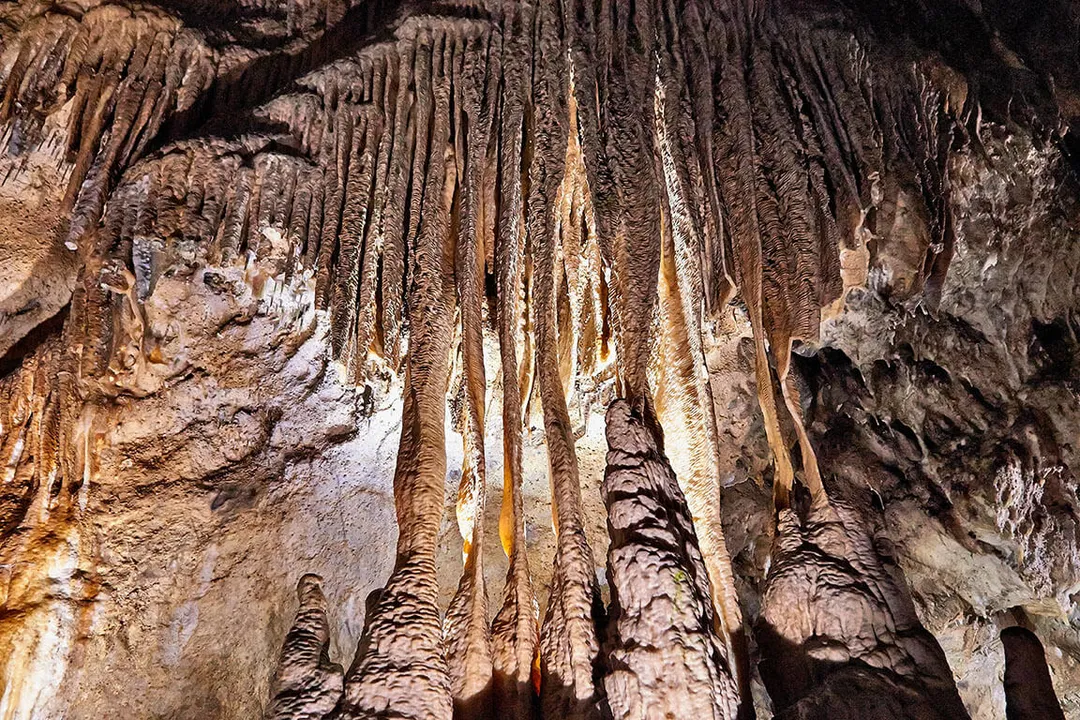
Limestone, a rock composed primarily of calcium carbonate (), typically forms in warm, shallow marine environments where organisms can thrive and precipitate shells. [4] Its presence over vast continental areas strongly implies a warm, tropical or subtropical sea covered that region in the past. [4][2] Conversely, rocks rich in iron oxides, often seen as red beds, suggest deposition in oxygen-rich (oxidizing) continental settings with significant exposure to the atmosphere, often associated with drier or highly weathered tropical soils. [2]
# Chemical Signals
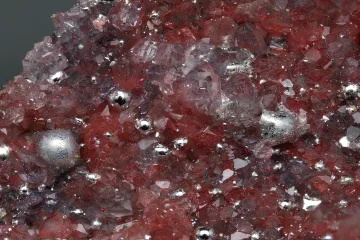
Modern analysis goes much deeper than just visual identification. Chemical analysis, particularly of stable isotopes like oxygen () found in minerals like quartz or carbonates, provides a direct chemical thermometer. [2] The ratio of these heavy to light isotopes incorporated into the rock structure during formation is temperature-dependent. [6] When analyzing deep-sea sediments, this ratio can be used to precisely estimate the temperature of the ancient ocean water in which the minerals or shells formed. [2] Furthermore, the isotopic composition of carbon in carbonates or organic matter can track changes in the global carbon cycle, offering insights into ancient atmospheric levels. [6]
It is important to note the trade-off in data fidelity based on location. Terrestrial deposits like ancient riverbeds or floodplains offer direct evidence of continental weather patterns and vegetation, but their layers are often discontinuous, reworked, or subject to significant chemical alteration by groundwater. [2] Deep-sea pelagic sediments, however, accumulate very slowly and continuously, preserving isotopic ratios and microfossil assemblages with higher fidelity over vast timescales, making them ideal archives for tracking global, long-term climate shifts, even if they lack the direct continental precipitation data. [8]
# Fossil Evidence
The biological remains embedded within sedimentary layers offer unmistakable markers of past environments, especially concerning temperature and water availability. [2][4]
# Macro and Micro Fossils
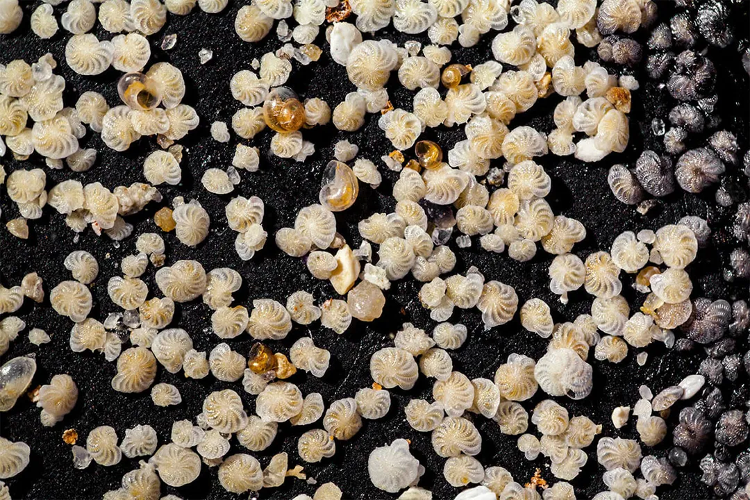
Large fossils, such as ancient tree stumps or bones of terrestrial animals, immediately place the environment in a specific biome—a vast forest or a savanna, for example. [4] However, microscopic fossils, often called microfossils (like foraminifera or pollen grains), are exceptionally valuable proxies because they are abundant, small, and often highly sensitive to subtle environmental changes. [2][5]
Pollen analysis, or palynology, reveals the types of plants that were growing nearby. A sediment layer dominated by spruce and pine pollen suggests much colder, higher-latitude, or higher-altitude conditions than a layer dominated by broad-leafed flowering plants. [9] Likewise, the mix of marine microfossils can indicate water depth and temperature; certain species of foraminifera (tiny shelled marine organisms) thrive only in specific temperature ranges, allowing scientists to reconstruct ocean temperature history with significant precision. [2] The sudden disappearance or appearance of specific marker fossils in consecutive layers can signal a major climatic shift or extinction event. [2]
# Core Sampling
While studying sedimentary rock outcrops in the field is important, the most detailed chronological sequences often come from sampling deep beneath the modern surface, particularly in aquatic environments. [8]
# Deep Sea Archives
Scientists recover these pristine records using specialized drilling techniques to extract sediment cores. [3][8] A sediment core is essentially a long cylinder of mud and ooze, often several meters long, drilled from the seafloor. [3][8] In the deep ocean, where sedimentation rates are extremely slow—sometimes just a few centimeters per thousand years—these cores capture an incredibly detailed, high-resolution record of climate fluctuation spanning hundreds of thousands or even millions of years. [8][5] The layers within the core are clearly visible and can be sampled at very fine intervals, allowing researchers to resolve centuries-scale climate events. [3] The image of a sediment core vividly illustrates this layered history, with visible bands often corresponding to glacial and interglacial periods, where the composition shifts due to changes in the sediment source or the type of microscopic organisms preserved. [3]
# Proxy Synthesis
Reading the story of past climate requires integrating all these different lines of evidence—physical texture, rock chemistry, and biological content—into a coherent narrative. [1][9] No single proxy tells the whole story; instead, they cross-validate each other. For instance, a period where limestone formation (warm water) coincides with a specific isotopic signature (warm temperature) and the presence of warm-water coral or shell fossils solidifies the conclusion that the region experienced a warm, shallow-sea climate. [4][2]
The interpretation is a process of educated deduction, grounded in the known physics and biology of how climate controls geological and biological processes. [1] When researchers find evidence of rapid shifts—a sudden transition from fine shale to coarse, poorly sorted conglomerate, coupled with a drastic shift in microfossil assemblages—it points toward a rapid environmental forcing event, possibly a sudden change in glacial meltwater input or an abrupt shift in monsoon intensity. [2] This multi-proxy approach is what lends authority and trust to paleoclimatic reconstructions, allowing science to confidently describe the climate state of Earth millions of years ago. [1][5]
#Videos
Exploring the Science of Climate (3/5) - YouTube
Related Questions
#Citations
Past Climate | NOAA Climate.gov
Sedimentary Rocks – Insight Into The Past And Future Climate
Sediment Core | U.S. Geological Survey - USGS.gov
How do the rocks in the Earth's crust tell the story of past climates?
Mapped: How 'proxy' data reveals the climate of the Earth's distant past
The Sedimentary Record of Past Climate Change - Springer Link
Exploring the Science of Climate (3/5) - YouTube
Tracing the Past Through Layers of Sediment - Eos.org
Investigating Past Climates - UCAR Center for Science Education