What is the primary source of weather?
The atmosphere is in constant motion, a state we observe daily as weather—the short-term conditions of the atmosphere, like sunshine, rain, wind, or snow. [1][4] While we often focus on a sudden thunderstorm or a passing cold front, the fundamental question guiding all meteorology is identifying the initial spark: what actually powers this relentless atmospheric dance? The undisputed primary source fueling virtually every meteorological event on Earth is the Sun. [2][3][4][6]
# Solar Engine

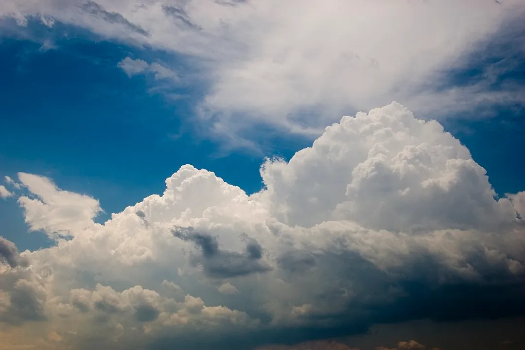
The Sun radiates energy, predominantly in the form of solar radiation, which travels across space to warm our planet. [4][6] This incoming energy isn't distributed evenly across the globe; this is the crucial first step that sets the entire weather machine into motion. [3] Because the Earth is a sphere, the equator receives more direct, intense sunlight than the poles, which receive sunlight at a shallower angle. [1][3] Furthermore, land heats up and cools down much faster than water, creating significant temperature differences between continents and oceans, and even between different types of terrain nearby. [3]
This uneven heating is the direct cause of what we call atmospheric instability or temperature contrast. [1][6] When the ground warms significantly, it transfers that heat to the air directly above it, causing that air parcel to become less dense and rise. Conversely, cooler areas have denser, sinking air. This fundamental difference in temperature creates a gradient in the atmosphere. [3]
# Pressure Gradients
Air naturally seeks equilibrium. When air rises in warm regions, it creates an area of lower atmospheric pressure at the surface because there is less air pressing down. In cooler regions, the denser, sinking air creates an area of higher pressure. [3] The atmosphere, seeking to balance these differences, pushes air from the high-pressure zones toward the low-pressure zones. This movement of air is what we experience and measure as wind. [3][8]
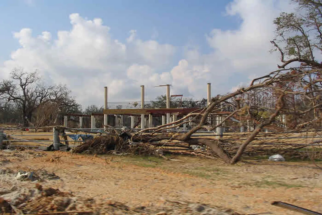
The relationship is direct: the greater the difference in temperature across a region, the greater the resulting pressure gradient, and the stronger the resulting winds will be. [3] For instance, a rapid temperature drop over a continental interior during the fall leads to significant high pressure, often ushering in strong, gusty winds as that high-pressure mass tries to spread out across the landscape. [6]
# Planetary Spin
If the Earth were stationary, wind would simply blow directly from the poles (cold/high pressure) toward the equator (warm/low pressure) in a straightforward manner. However, the Earth's rotation complicates this simple north-south flow into the complex, swirling patterns we observe. [1][6] This rotational effect is known as the Coriolis effect. [6][8]
The Coriolis effect causes moving objects—including air masses—to appear deflected when viewed from the Earth's surface. In the Northern Hemisphere, this deflection is to the right of the initial direction of motion, while in the Southern Hemisphere, it is to the left. [1][8] This effect doesn't initiate the wind, but it drastically dictates how that wind travels, transforming straight pressure-driven movement into the curved paths that define large-scale weather features like cyclones and anticyclones. [8]
Consider a large, slow-moving air mass originating from the subtropics moving poleward. Instead of heading straight north, the Coriolis effect forces it to turn eastward, eventually contributing to the prevailing westerly winds found in the mid-latitudes. [1] This is why large-scale atmospheric patterns are rarely simple north-south exchanges; they are dominated by circulating cells influenced by this planetary spin. [6]
# Local Effects
While solar energy and planetary spin govern the macro-scale drivers, the specific weather experienced at any given location is heavily modified by local features. Topography, such as mountains and valleys, dramatically influences air flow. [1] Air forced up a mountain range cools, condenses moisture, and produces precipitation on the windward side, often resulting in a "rain shadow" desert effect on the leeward side. [1]
Another key local factor is the presence of large bodies of water. Land heats up quickly during the day, creating a local low-pressure zone, while the adjacent water remains cooler. This draws the cooler, heavier air from over the water inland, resulting in a sea breeze. [8] At night, the process reverses as the land cools faster than the water, leading to a land breeze blowing seaward. This local cycling, powered ultimately by the Sun but moderated by the different heating capacities of water and land, is a daily weather phenomenon for coastal residents. [8] If you live near a large lake or ocean, observing the shift from a sea breeze in the afternoon to a land breeze after sunset provides a tangible, local demonstration of the energy imbalance driving all weather. [3]
# Information Gathering
It is important to distinguish between the source of the weather (the Sun) and the sources used to observe and predict it. Modern meteorology relies on sophisticated tools to measure the effects of that initial solar forcing. These include ground-based radar systems, which detect precipitation by bouncing radio waves off water droplets or ice crystals, and weather satellites orbiting the Earth, which provide visual and infrared imagery of cloud cover and atmospheric temperature profiles. [7] These technological systems, managed by organizations like NOAA, allow scientists to track the evolving pressure and temperature patterns created by the Sun's initial input. [2][7] Without these tools for observation, the complex interaction between solar radiation, rotation, and topography would remain largely hidden. [5]
# System Dynamics
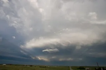
The combination of differential solar heating, the resulting pressure gradients, and the redirection via the Coriolis effect leads to the formation of recognizable weather systems. [6] These systems include areas of converging air and rising motion associated with low pressure (often bringing clouds and precipitation) and areas of diverging air and sinking motion associated with high pressure (often bringing clear skies and calm conditions). [6]
Low-pressure systems, or cyclones, typically form along boundaries where air masses of different temperatures meet, known as fronts. [6] The equator-to-pole temperature gradient, established by the Sun, is the grand-scale driver for these systems. [6] The movement of these large-scale high and low-pressure cells dictates whether a region experiences a hot, dry week or a period dominated by cloudy, wet weather. [6]
The entire atmospheric engine functions as a giant heat transfer mechanism, constantly trying to move excess heat energy from the equator toward the poles. [1][6] Wind, ocean currents, and storms are all components in this grand effort to redistribute solar energy across the planet.
# Chaotic Boundaries
Because the atmosphere is a fluid system attempting to achieve balance under varying, constantly shifting energy inputs, it exhibits chaotic behavior. [1] This means that while we can predict the general tendencies of the atmosphere—for example, knowing that summer heat generally leads to afternoon instability—predicting the exact location and intensity of a specific event a week out is immensely difficult. A seemingly minor fluctuation in the initial temperature near a mountain range on a Tuesday morning can lead to a significantly different outcome regarding thunderstorm formation by Thursday afternoon compared to what might have happened if that initial temperature was only one degree cooler. This sensitivity to initial conditions is why forecasting accuracy decreases the further out we look, even with the best satellite and radar data. [7]
The sheer complexity arises because the energy source (the Sun) is never static, and the Earth’s surface (land/water/mountains) provides endless variation in how that energy is absorbed and re-radiated. Essentially, weather is the atmosphere’s active, turbulent reaction to being unevenly heated by a distant star, modified by its own spinning platform. [1][3]
# Energy Hierarchy
When evaluating the source of weather, it helps to think in terms of an energy hierarchy.
| Level | Driver | Effect on Weather | Citation |
|---|---|---|---|
| Primary Source | Solar Radiation (The Sun) | Provides the initial heat energy and creates temperature contrasts. | [2][4][6] |
| Secondary Driver | Earth's Rotation | Modifies the path of moving air masses (Coriolis effect). | [1][6][8] |
| Modifiers | Topography & Surface Type | Dictates local absorption rates (land vs. water) and forces air upward/downward. | [1][8] |
The physical processes generating weather—pressure changes, wind, evaporation, and precipitation—cannot occur without the constant influx of solar energy. If the Sun were to vanish, the winds would eventually cease as the atmosphere cooled to equilibrium, and the weather we know would stop. [3] However, if the Earth suddenly stopped rotating, the weather would become drastically different—likely featuring intense, direct storms along the equator and vast frozen zones at the poles, but it would still exist, driven by the remaining solar heating gradient. This highlights that while rotation shapes the pattern, solar energy is the true, irreplaceable engine driving the entire process. [1] The energy input is continuous, meaning the atmosphere is never truly still; it is always adjusting to the latest input of solar heat, ensuring a perpetual state of weather. [1][4]
Related Questions
#Citations
Weather - Wikipedia
Weather | National Oceanic and Atmospheric Administration - NOAA
What is the source of weather in the first place? - Quora
Basic Weather Education
GL 22 - Sources of weather info Flashcards - Quizlet
Weather - National Geographic Education
Where does your weather forecast come from? - NPR
Wind Formation | manoa.hawaii.edu/ExploringOurFluidEarth